- English
- Português
Languages:
This site is created using Wikimapia data. Wikimapia is an open-content collaborative map project contributed by volunteers around the world. It contains information about 32677238 places and counting.
Learn more about Wikimapia and cityguides.
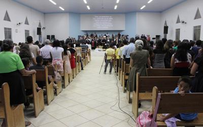
Vilhena
Vilhena is the easternmost municipality in the Brazilian state of Rondônia.
Wikipedia article: http://en.wikipedia.org/wiki/Vilhena
Vilhena on the map.